

Table of Contents
Planning a space flight takes years of study. Before a rocket leaves the pad, teams must scan millions of photos and map charts to find safe touchdown zones.
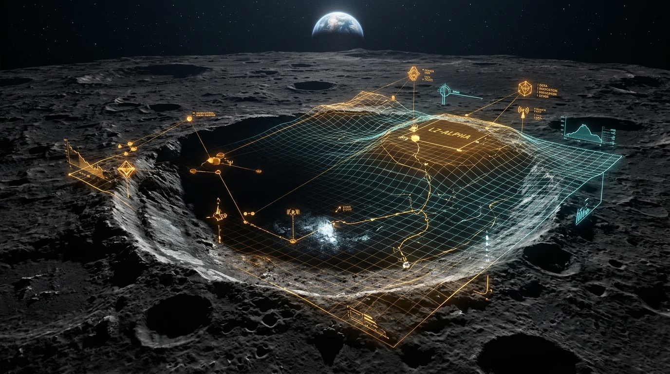
Teams at The Ohio State University built a new AI tool named LUMINA. The model helps scientists find safe moon landing zones, flagging dangerous rocks, steep slopes, and ice deposits.
Gokce Inal is a doctoral researcher in engineering at Ohio State who created the model. “AI systems are going to become critical tools for space exploration,” Inal said. “They will help people scan millions of images that future moon crews will need. This work connects machine learning with space science.”
- LUMINA System: An agentic AI decision-support assistant built by Ohio State researchers to evaluate lunar landing zones.
- LLaVA-LE Heritage: Extends an earlier lunar vision-language model, adding multi-step terrain analysis and evidence reasoning.
- Active Teammate Model: Acts as an interactive assistant for human flight planners rather than an unsupervised autonomous machine.
- Multi-World Mapping: Designed to generalize beyond the moon to map landing sites across Mars, asteroids, and Earth.
- NASA Artemis Integration: Presented at DPS 58, the model will ingest real-time polar reconnaissance data from NASA missions.
Factsheet: LUMINA AI Lunar Decision-Support System
| System Attribute | LUMINA Framework | Prior Baseline / LLaVA-LE |
|---|---|---|
| Primary Function | Landing site evaluation, hazard identification, and ice detection. | Passive terrain description and basic lunar Q&A. |
| Operational Paradigm | Active agentic assistant with evidence explanation. | Turn-by-turn prompt-and-response vision model. |
| Target Exploration Program | NASA Artemis crewed lunar landings and resource mapping. | Orbital photographic reconnaissance data. |
| Cross-Body Generalization | Generalizable to Mars, asteroids, and terrestrial mapping. | Lunar-only surface photographic models. |
| Lead Research Institution | The Ohio State University (presented at DPS 58). | Division for Planetary Sciences / AAS. |
From Passive Chatbots to Active Space Assistants
Landing on the moon is harder today than ever before. Flight crews must land near the lunar south pole to find water ice. LUMINA studies complex moon terrain and writes notes on candidate landing sites. Planners can use these notes to find craters rich in ice and raw minerals.
Inal built LUMINA as a smart helper for flight teams, not a robot that acts alone. “Most AI tools are passive,” Inal explained. “You ask a question and get a single reply. We are building an active science helper that solves problems alongside human experts.”
Inal shared her work at a major planetary science meeting this month. The presentation established a clear path for agent tools in future space flight.
Built on LLaVA-LE: Multi-Step Evidence Reasoning
LUMINA builds on an earlier lunar vision model named LLaVA-LE. That earlier system could describe moon terrain and answer basic questions. LUMINA goes further by running multi-step checks. It ranks landing sites and shows the proof behind each choice.
Reviewing thousands of orbital photos takes human teams months. LUMINA scans these images rapidly. It flags boulder fields, steep crater walls, and rich resource zones.
This shift reflects wider advances in machine learning. We previously covered how Google DeepMind Genie 4 simulates physical worlds in real time. Similarly, our look at OpenAI mathematical proofs showed how machine reasoning aids human scientists across complex physics domains.
Expanding Beyond the Moon to Mars and Asteroids
LUMINA can also map other worlds beyond the moon. Co-author Alper Yilmaz is a professor of engineering at Ohio State. He noted that current mapping models remain rare in space flight.
“There aren’t many GPT-like map models being developed for space exploration,” Yilmaz said. “Our effort aims to make one generalizable to other surfaces, like Mars or some asteroids. As datasets grow, efficient tools are essential. Otherwise, finding the best places for crews to land is like looking for a needle in a haystack.”
Yilmaz noted that human safety remains the top priority. “People are going to be landing in an extremely harsh environment,” he said. “It helps to have another set of eyes to verify facts and catch errors.”
Ingesting Real-Time Data from NASA Artemis
The team plans to test LUMINA on new data from NASA Artemis flights. Artemis aims to land crews on the moon and build a permanent polar base camp near the lunar south pole.
“NASA’s Artemis program creates important opportunities for our research,” Inal said. “As new lunar data becomes available, their results can improve systems like ours and better support future mission planning.”
Frequently Asked Questions
What is LUMINA in lunar mission planning?
LUMINA is an AI assistant built at Ohio State University. It helps scientists find safe moon landing zones, spot rocks, and locate water ice.
What foundation model is LUMINA built upon?
LUMINA builds on LLaVA-LE, an earlier lunar vision model developed by Ohio State to describe moon landscapes and answer geology questions.
How does LUMINA assist NASA Artemis missions?
LUMINA helps Artemis planners scan millions of orbital photos fast, identifying safe landing spots with flat slopes and water ice.
Can LUMINA map other worlds besides the moon?
Yes. Researchers designed the model to generalize across other surfaces, including Mars, asteroids, and remote regions on Earth.
🛠️ Formatting Geospatial or Model Datasets?
Clean, parse, and structure mission parameters or schema files safely in your browser with our free, client-side JSON to YAML Converter.
Developing custom AI vision pipelines, agent workflows, or remote sensing infrastructure for your organization? Consult with TeckScaler’s engineering team →
Related Aerospace & Frontier Analysis
DeepMind Genie 4: Real-Time World Simulation
How foundation models simulate interactive physical environments and visual terrain.
OpenAI Claims Historic Math and Physics Proofs
Inside machine reasoning breakthroughs across harmonic wave analysis and quantum fields.
RAF to Pair Typhoons with Four AI Drones by 2030
How uncrewed aerial wingmen collaborate with human pilots in high-risk flight operations.







[…] For more on visual AI models evaluating physical terrain, read our analysis on how Ohio State built the LUMINA AI framework to map moon landing sites for NASA Artemis. […]